Although the transition from the 30-year rule to the 20-year rule is now underway, the vast majority of maps and plans held at The National Archives are still more than 30 years old and, of course, many are much older. Nonetheless, we do hold some maps that are less than 30 years old and today’s post is about one of them.

Map A illustrating a maritime boundary agreement between the governments of the UK and the Republic of Ireland, 7 November 1988. Catalogue reference: FO 93/171/23.
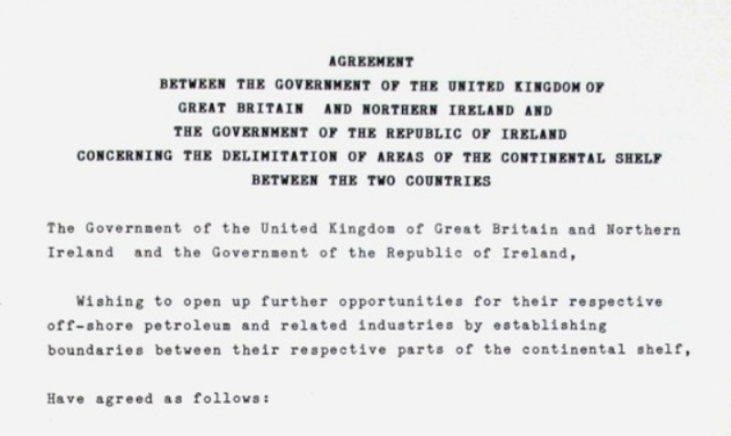
On 7 November 1988, 25 years ago today, the United Kingdom signed a treaty with the Republic of Ireland, [ref] 1. FO 93/171/23 [/ref] demarcating parts of the offshore boundary between our two countries. This map is one of two that accompany and illustrate the text of this treaty.
The maps show the newly-agreed maritime boundary in the Irish Sea and the Atlantic Ocean as a zigzag pattern of straight lines. An annex to the treaty records the boundary line more precisely by listing the geographical co-ordinates of each of its ‘corners’.

Part of the list of co-ordinates marked on the map. These relate to the southern end of the boundary.
The United Kingdom’s historically-prominent role in global affairs, linked to its former status as a colonial power, means that The National Archives holds many records relating to international boundaries in various parts of the world.
As befits its purpose, this treaty map depicts little more than coastal outlines, the new boundary and gridlines. It includes everything necessary to illustrate the text of the treaty clearly but nothing else.
To my mind, the map has a stark and utilitarian beauty. Whether or not it strikes you in the same way, I hope we can agree that superficial appearances are not everything. Plain, black-and-white outline maps are often just as important – and just as interesting – as colourful, beautiful or highly decorative items.
Also 25 years old this year…
This blog post is adapted from an article originally published in the August 2013 edition of Magna, the magazine of the Friends of The National Archives.
The year 2013 also marks the 25th anniversary of the Friends, which was founded in 1988 as the Friends of the Public Record Office. Visit the Friends pages on our website to learn more about the Friends and how its members support the work of The National Archives.


Whilst the transition to the move to the 20-year rule has started it has to be said that few departments are meeting this, for example not all of the 1983 Budget papers (or any 1983 papers!) have been transferred by Treasury. Treaties are released, in most cases, before 30 years and they should be as they should show what the Government is agreeing with other countries. The importance of maps themselves may become more important if/when Scotland gains Independence.