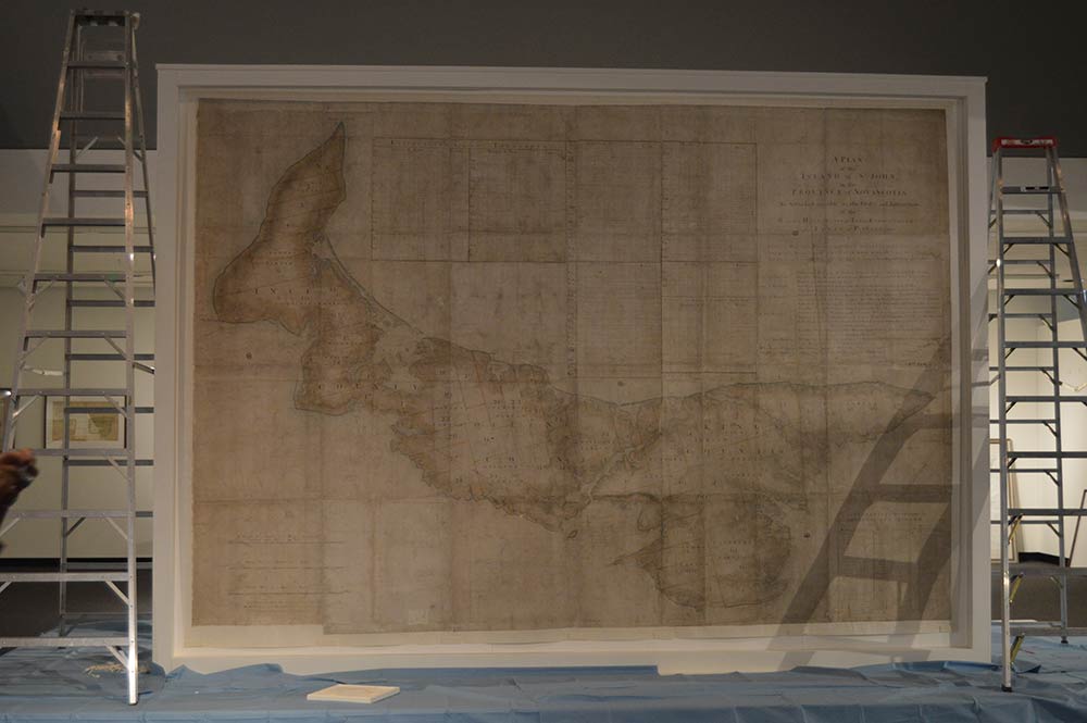
The ‘Holland Map’ at The Confederation Centre of the Arts in Charlottetown
For the first time in 250 years the ‘Holland Map’, Samuel Holland’s map of Prince Edward Island, was to make its journey back to where it was first created. It features centre stage at the exhibition ‘Imperial Designs: Samuel Holland’s 1765 Map and the Making of Prince Edward Island’ at The Confederation Centre of the Arts in Charlottetown.
After a lengthy conservation treatment Juergen Vervoorst, Head of Conservation, and I accompanied the map on its massive journey across the Atlantic – I’ll be talking about this on Thursday 3 September 2015 at The National Archives.
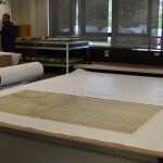
26 June 2015
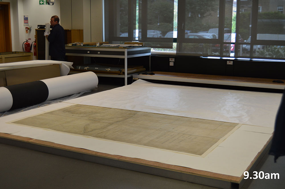
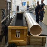
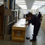
09:00 The van from the museum transport company has arrived, but the crate looks wrong! Brought into the conservation studio and placed next to the roll, it’s confirmed: it is way too long for the short side of the map, maybe still too short for the long side, and too shallow. How can it be so wrong? Will it get on the plane? Starting to feel panicked, there’s no time to build a new crate before Monday!
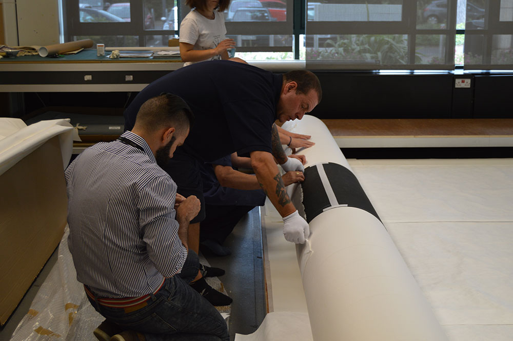
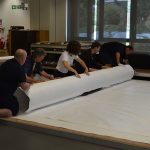
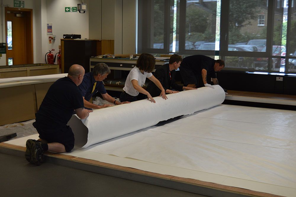
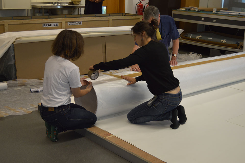
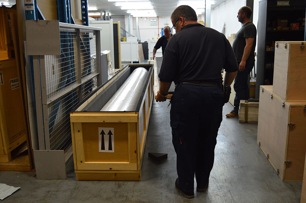
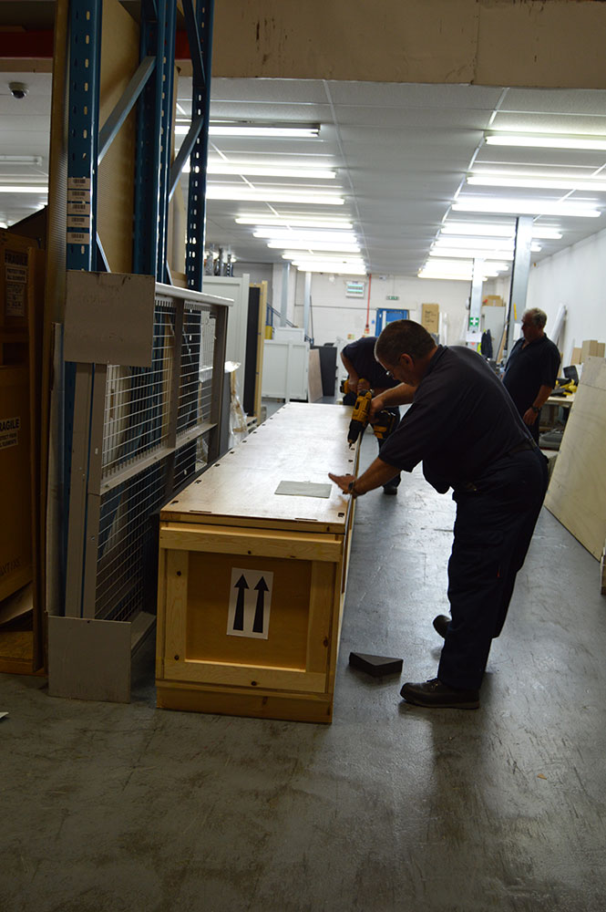
09:30 After lots of discussion we’ve found a solution: the crate is just long enough for the map’s long side and its padding will need tweaking to accommodate the height, but that can be sorted out once we’re at their warehouse. The tube is extended, sheets of Tyvek cover the whole map and eight people roll the map. Once rolled, the Tyvek is secured. Polythene is then wrapped around the map and tube and secured. It’s put into the crate. It’s a tight fit, but as long as it gets onto the plane we’re OK! The lid still doesn’t fit though.
-
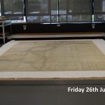
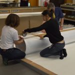
- The map laid out
-
- Covering the map with sheets of Tyvek
-
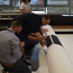
- Getting the tube in place
-
- Rolling the map
-
- Rolling the map

-
- Wrapping Polythene around the map

-
- Securing the map and tube
-
- Placing the map into the crate
-
- A tight fit!
-
- Securing the crate’s lid
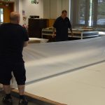
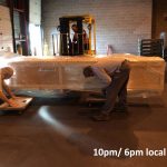
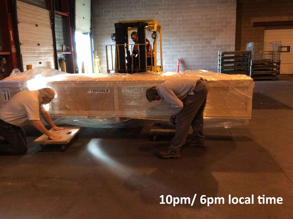
10:30 The crate is loaded into the art handler’s van and with me makes its journey to the warehouse. Fingers crossed the map doesn’t get knocked on the journey over there.
12:00 The map arrives at the warehouse.
13:00 The lid won’t fit until the interior supports have been altered. More waiting around for me…
14:30 Finally it fits! The map is secure, although it’s not ideal. I have been assured it will be allowed onto the plane though!
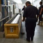
15:00 The hand search – the whole purpose of my journey to the warehouse. This is to make sure that there is nothing else in the crate and it is safe to fly. Once completed, the lid is screwed on and sealed, and the crate is stored in an environmentally stable and secure warehouse.
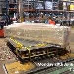
29 June 2015
04:00 The crate makes its way to Heathrow.
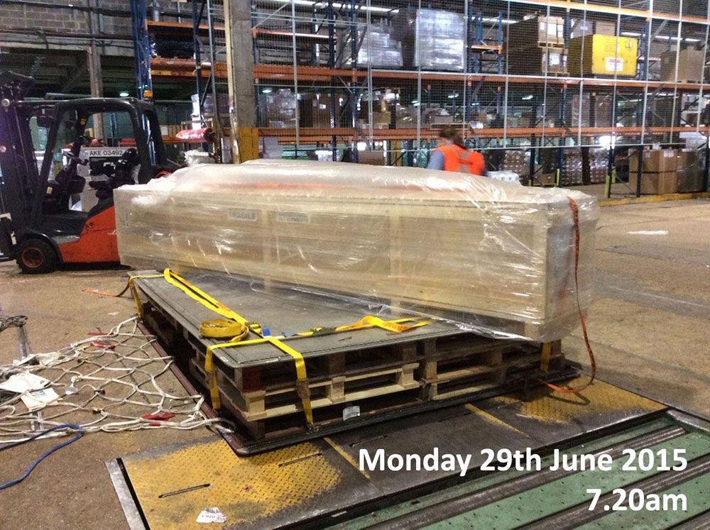
07:20 Juergen and the map meet at the airport. Upon arrival at Terminal 2 Cargo the crate is unloaded from the truck, placed onto a palette (which has to be raised to enable loading onto the plane, it only made it by a couple of inches!), is secured and put into holding area – five hours to kill!
-
- The crate on a palette
-
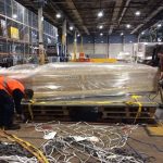
- Securing the crate to the palette
-
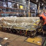
- Securing the crate
-
- Loading the crate onto a truck
-
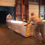
- Loading the crate onto a truck

-

- The map is on the road!

-
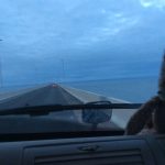
- Driving over the Confederation Bridge

-
- Arriving in Charlottetown
-
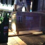
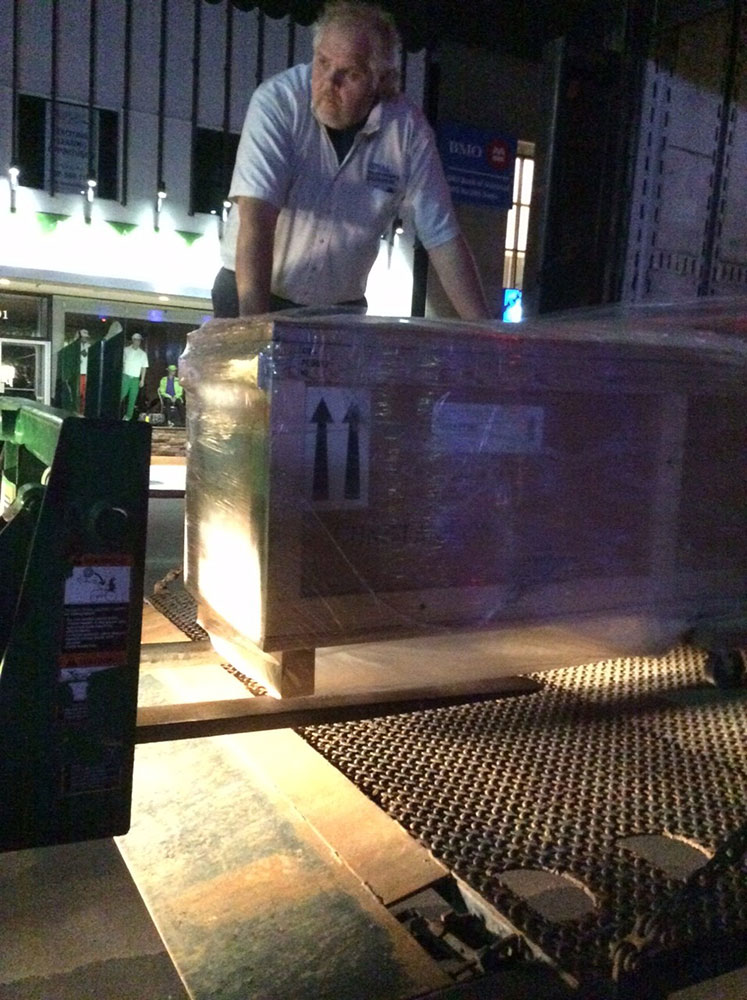
- Moving the crate from the truck to gallery
12:30 The art handler confirms that the map is on the plane. Juergen has no access to the plane field, this can only be supervised by authorised art handlers.
13:00 Juergen boards his flight to Halifax.
19:00 (15:00 Atlantic Canada time) The map has arrived and is waiting in a warehouse with its designated security guard to be cleared by customs. Three hours Juergen won’t get back in his life!
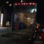
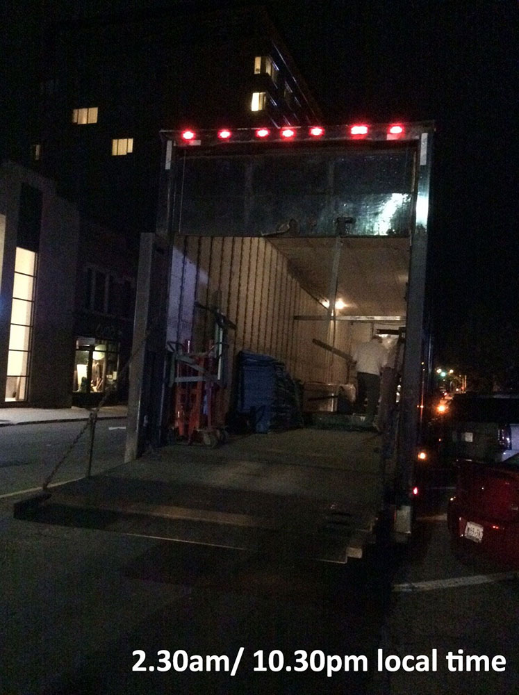
22:00 (18:00 Atlantic Canada time) The ‘all clear’. The crate is loaded onto an enormous truck; three crates would have fitted in a row onto this truck! The map gets its own climate controlled compartment. The drivers are incredibly patient, having arrived two hours early from Vancouver and having waited six hours!
23:00 (19:00 Atlantic Canada time) The map is on the road. Through Nova Scotia, New Brunswick and over the Confederation Bridge (the longest bridge in Canada) and onto Prince Edward Island.
02:30 (22.30 Atlantic Canada time) Juergen has arrived in Charlottetown! Unbelievably at least 30 people are expecting the arrival of the map and it’s all hands on deck to get the crate into the gallery.
04:00 (00:00 Atlantic Canada time) Nearly 24 hours! Time for Juergen to get some sleep.
30 June 2015
Boarding the plane to Charlottetown
13:00 I board the flight to Halifax.
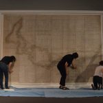
16:00 Atlantic Canada time The map is unpacked, unrolled and pressed to be flat once more and to acclimatise to new conditions. Not much else Juergen can do.
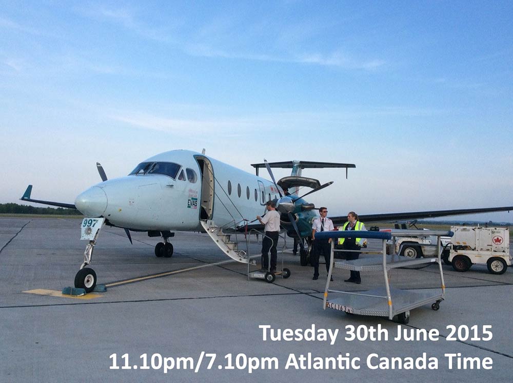
19:00 (15:00 Atlantic Canada time) Arrive in Halifax. A massive four hour wait for the next flight.
23:10 (19:10 Atlantic Canada time) Can finally board the plane to Charlottetown. It is the smallest plane I’ve ever seen, it only carries 20 people. It doesn’t even have life vests! In an emergency you have to hold the seat cushion to your chest and hope for the best!
00:00 (20:00 Atlantic Canada time) I arrive in Charlottetown.
2 July 2015
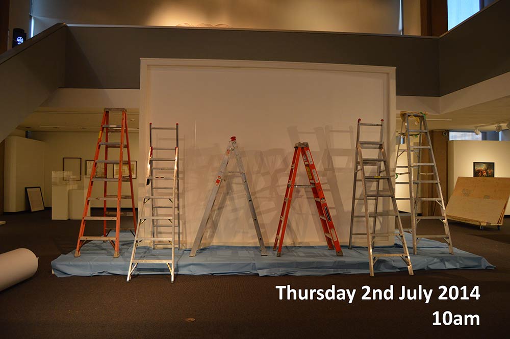
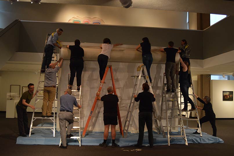
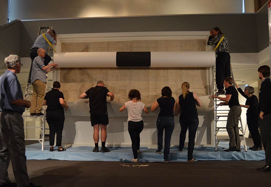
I finally see the magnetic wall. It was built to size to accommodate the hanging of the map and looks like a frame. The map is going to be placed on top of the wall and secured with magnets which are disguised.
Being centre stage reflects the prominence of the map for the exhibition.
-

- Ladders in front of the magnetic wall
-
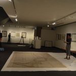
- The pressed map ready for rolling
-
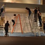
- Climbing ladders
-
- Undoing linen ties
-
- Waiting for map to be unrolled
-
- Starting to unroll the map
-
- Unrolling the map
-
- Securing the map with magnets
-
- Nearly done!
-
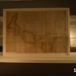
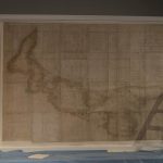
- The map centre stage of the exhibition
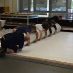
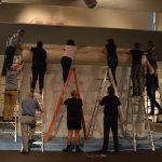
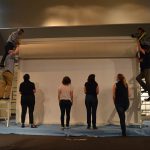
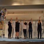
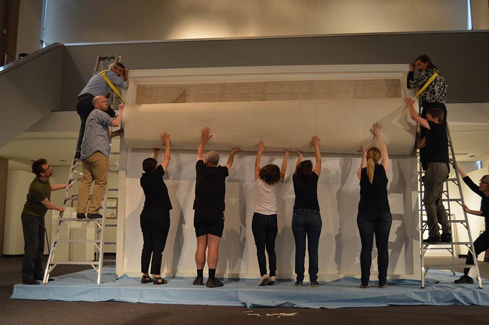
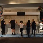
10:00 Myself, Juergen and the team at the Confederation Centre begin working out the logistics of how to hang the huge map, like how many ladders are needed and peoples’ positions.
12:00 We are ready to hang the map. The map is re-rolled on the long side and secured. Heavy-duty strapping was fed through the tube so the person on either side of the roll could have extra support. Two people climbed the ladders with the map until they reached the top. The rest of the team climbed the other ladders, untied the linen ties and secured the map into place with the magnets. Once secured the map was gently unrolled, then secured with smaller magnets.
12:20 The lighting is adjusted, the environmental conditions are checked. Everything is signed off. The map is now centre stage. At last, well over a year later, the job is done. Now I just need to do the talk about the conservation project…
You can watch the curators install Samuel Holland’s map below.
Hi
When I visited the National Archives recently I was shown a video of the conservation of the ‘Holland map’, but I can’t find it online. Could you send me the link to it please?
Thanks!
Hi Isobel,
Thanks for your comment. The film isn’t currently online – but if it does become available we will let you know.
Best,
Nell